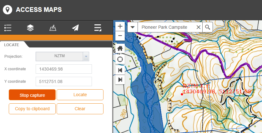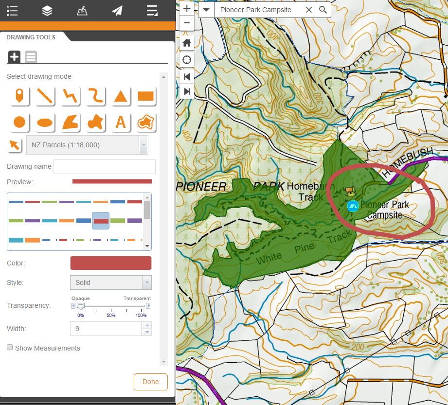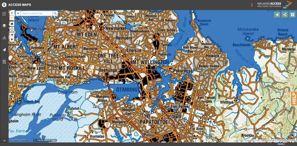
In June GBS completed an upgrade of the New Zealand Walking Access Commission’s mapping system (WAMS) to enable them to retire their existing Flex based web mapping client. WAMS was upgraded to make use of the latest Esri web mapping technology – Portal for ArcGIS and Web AppBuilder for ArcGIS (WAB). WAMS was also moved to an AWS (Amazon Web Services) based IAAS (infrastructure as a Service) platform.
The mapping interface is a custom implementation using the WAB framework, a custom template, out of the box components, GISCO (Local Government GIS Consortium) WAB custom components and some WAMS specific custom functionality (also developed as web app builder components). The result is a modern HTML5 based mapping interface with a familiar WAMS look and feel, but without the legacy restrictions of the old Flex based solution.
Read more from the Walking Access Commission: http://www.walkingaccess.govt.nz/latest-news/show/new-walking-access-mapping-system-now-live/341/
Or visit WAMS: www.wams.org.nz