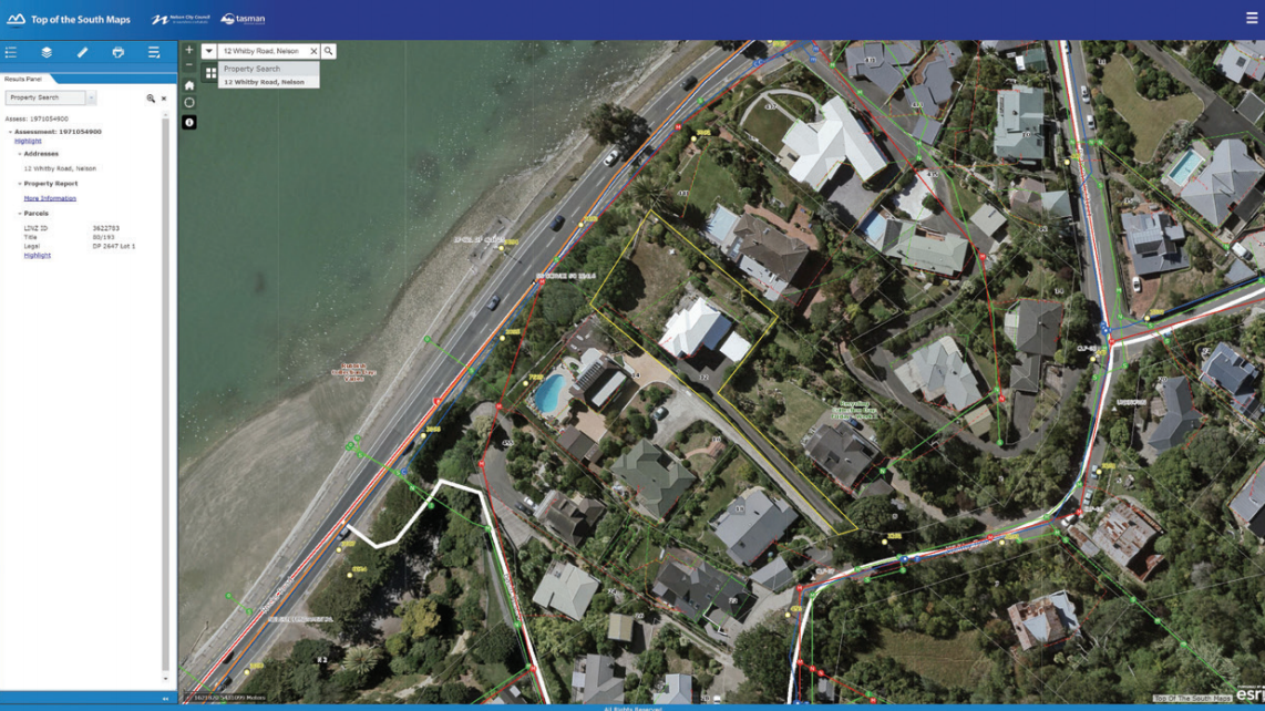
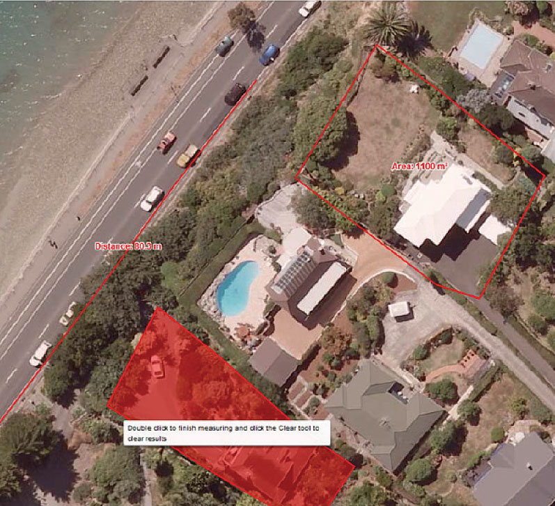
Nelson City Council (NCC) and Tasman District Council (TDC) engaged Geographic Business Solutions (GBS) Ltd in October 2010 to develop an external – public facing web mapping portal. The ‘Top of the South Map Viewer’ has been operational since then at http://www.topofthesouthmaps.co.nz/ NCC and TDC have since engaged GBS to enhance the existing Top of the South Viewer to include additional functionality in 2011, for the version 2.0 release and in 2013, for the version 3.0 release & 2017 for the 4.0 release


The Top of the South Map Viewer has been operational since 2010. There have been two upgrades since then to increase the functionality and usability. Feedback from users about the viewer is extremely positive and the clients are very happy with the uptake of this solution by the public.
This latest release is on the Web AppBuilder framework and ESRI Java Script API and is part of the Council GIS Consortium (a group of Councils working together to develop web mapping functionality based on the ESRI Platform).