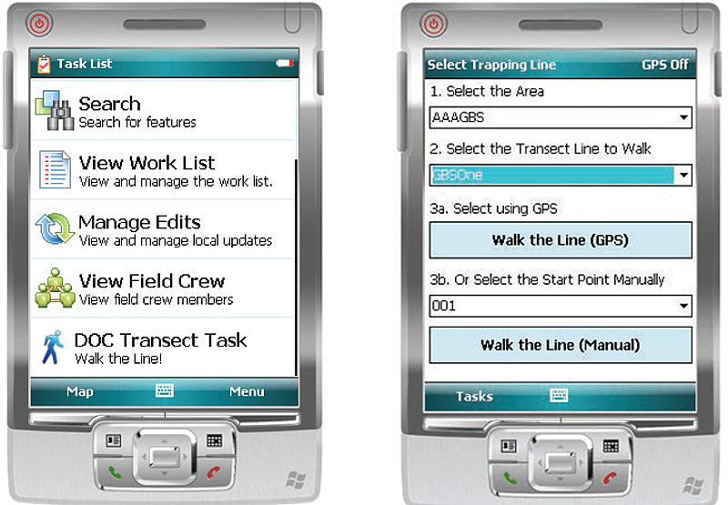
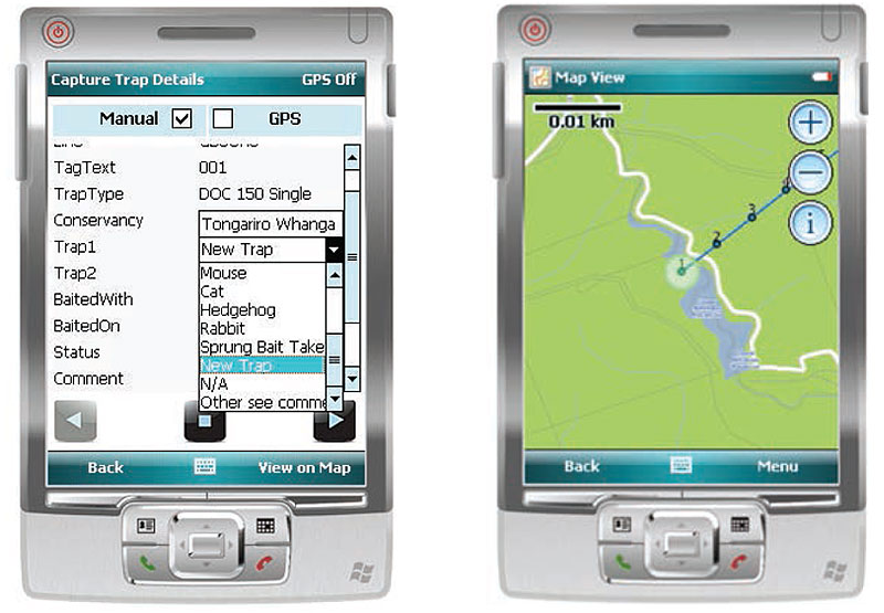
Mobile Solution – Walk the Transect Line – DOC commissioned GBS to create a proof of concept for a trap checking tool called Walk The Line. The tool was to assist the person checking each trap in a trap line to navigate from one trap to the next and enable them to easily capture the required information.
Project Objectives
To build a mobile solution that does the following:
- Enables the user to navigate to a pre-defined transect using
either the GPS or navigating by map viewer
- Guides the user to walk the selected transect line, and modify
this line to follow the actual path walked where necessary
- Efficiently capture trap information with relevant attribute as
they ‘walk the line’
- Easily modify existing traps to update their location
- Easily move from point to point using forms and populate the
relevant information faster than recording with pen and paper
- Define default attributes at the start of each transect line
- Sound an alarm when the ranger is in the proximity of the
next trap
Technical Build Information
The solution uses ESRI ArcGIS Mobile 10. It is a customised version of the out of the box ArcGIS Mobile application. The solution was designed for use with Windows 6+ devices. Data synchronisation is facilitated via ESRI ArcGIS Server 10. The resultant application uses data driven forms for maximum flexibility.


