

0

As the year draws to a close, we want to take a moment to express our heartfelt thanks to all of our clients for your continued support throughout what has been a challenging year. Your trust and partnership mean the world to us, and we’re incredibly grateful for the opportunity to work with you.A special thank […]
0
GBS is now a Safe Software (FME) Partner GBS (NZ and USA) is pleased to announce that we are now a Safe Software (FME) Service Partner. We have been using FME for many years, in conjunction with Esri products, across a broad range of sectors and for a variety of applications. Traditionally we have used it for […]
0
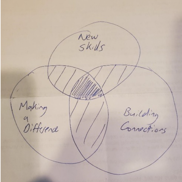
The Role of Incentives in Project Management One of the most interesting aspects of working at a consultancy like GBS is that we interact with many different organisations across New Zealand (and internationally), who need support with GIS and IT. We thought it would be useful to start sharing some thoughts on what types of […]
0

GBS recently attended the Trimble Innovate conference in Cleveland, Ohio. This was the first time that Trimble had brought all the construction and maintenance software users together under one conference. The big announcement for the conference was the introduction of Trimble Unity – an Asset Lifecycle Management (What Is Asset Lifecycle Management? The 4 Stages […]
0
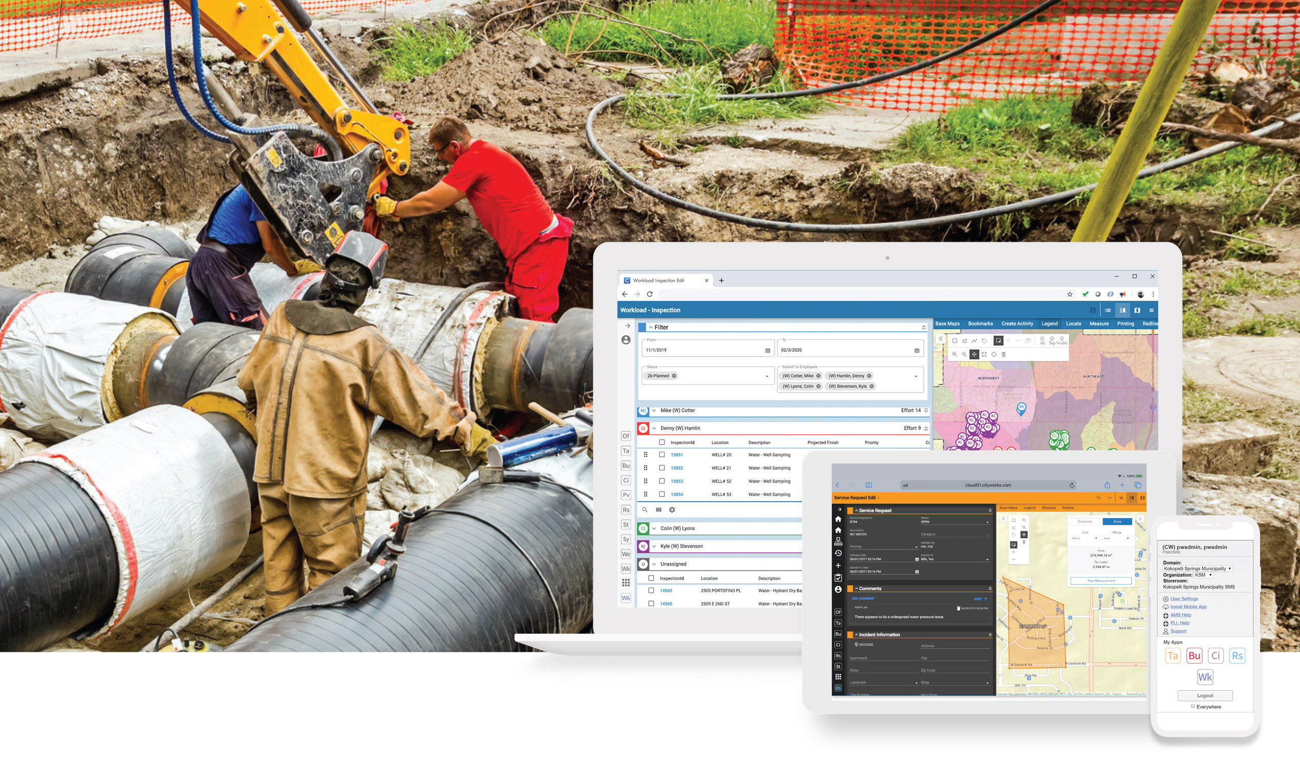
Transforming Asset Management with Trimble Unity and GBS A Guide to Enhancing Your GIS Journey Adopting an Asset Lifecycle Management approach is crucial for organisations aiming to maximise their asset value, optimise their operations and enhance data-driven decision-making. Trimble Unity Maintain (previously Cityworks AMS) and Trimble Unity Permit (previously Cityworks PLL), are leading GIS-centric solutions […]
0

Insights from GBS at the 2024 RUCs This year, GBS had the privilege of presenting at the Regional User Conferences, where we looked into significant advancements and future directions in geospatial technologies. As a longstanding Esri Gold Partner, we shared insights from the Esri Developers Summit and Partner Conference, focusing on crucial transitions like the […]
0
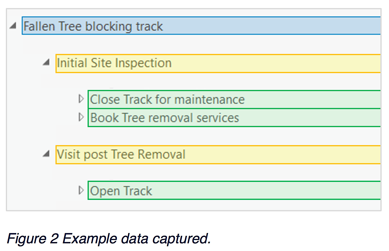
Unveiling Multi-Level Related Records in Pop-ups with Arcade Arcade, a versatile expression language, empowers users to craft custom pop-up content, generate unique labels, derive new values from existing data, and establish data rules. This article delves into a commonly encountered scenario involving two levels of relationship classes and the display of this interconnected information through […]
0

Redefining Waka Kotahi’s Mapping Platform Pioneering Geospatial Solutions In mid to late 2022, GBS embarked on a significant project with Waka Kotahi NZ Transport Agency (NZTA). This collaboration was part of Waka Kotahi’s extensive Geospatial Upgrade project, focusing on migrating bespoke widgets from the existing Geospatial Platform (MapHub) to a modern Kubernetes Platform. This task […]
0

Trends and Technologies Shaping the Geospatial Industry (series) In our previous blog in this series, we covered key trends relating to Technology and Data. We continue to look at the key trends influencing the future of Geospatial Technologies by looking at Solutions, Process, people and Politics. Solutions Solutions refers to combinations of technology and data […]
0