Blog

New staff – Michael Gin

Michael Gin joined GBS in December 2017.  A born and bred Aucklander with over 15 years in the Geospatial industry, Michael has a wealth of local government experience in both New Zealand and the United Kingdom.   Having worked most recently in the ESRI SAG award winning Auckland Council Geospatial Team, he joins GBS as a Solutions Manager. Michael’s interest in […]

Read More

Staff Spotlight – Ardeshir Gheidian

Ardeshir has now been with us for over 7 years (nearly 8!) and we have not previously profiled him. Shame on us! Anyway, Ardeshir is one of those guys that gets on with the job with no fuss.  He’s a seriously smart dude who can build just about anything. Ardeshir joined GBS in early 2010 and was thrown […]

Read More

Top of the South Maps (TOTSM) finds new life in Web AppBuilder

The external map viewer application – Top of the South Maps (TOTSM) – is used by customers in the Nelson City Council and Tasman District Council areas to access Land Information data. This application was recently replaced using Esri’s latest Web AppBuilder (WAB) version (2.4) along with new and upgraded functionality. The previous version was built […]

Read More

NZTA MapHub2

NZTA embracing technology to drive service delivery

The New Zealand Transport Agency (NZTA) recently upgraded their MapHub web application incorporating the latest technology in ArcGIS (10.5). MapHub 2 included updating the widgets to the latest versions of Web AppBuilder (WAB). GBS, as part of the wider project team, delivered the end solution along with Eagle Technology and the NZTA geospatial team. Working […]

Read More

Record numbers for NZ Esri UC 2017

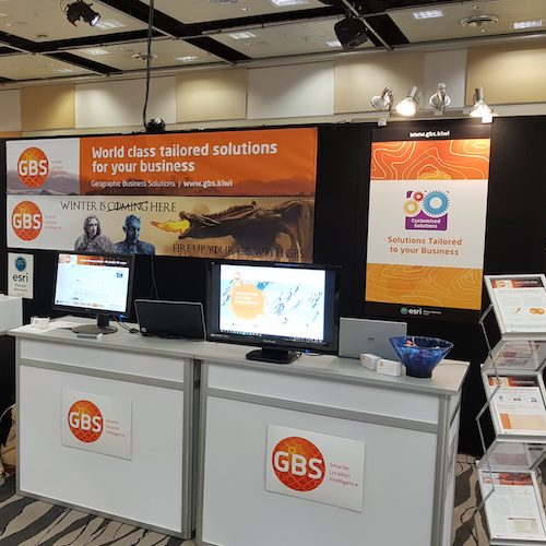
This year’s New Zealand Esri User Conference saw the highest attendance in its 21 year history with 585 attendees taking part in the conference held in Auckland from the 14 to 16th August. The team at GBS look forward to the conference each year as it is a chance for the team to get up […]

Read More

Ravensdown launches HawkEye® at Mystery Creek Fieldays

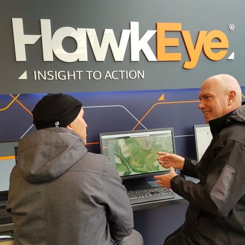
This year’s Mystery Creek Fieldays saw Ravensdown launch HawkEye to its customers, with extremely positive feedback from clients, media, and other agricultural providers. The platform potential and the step-shift in approach is revolutionary providing for enhanced collaboration with industry partners, and a feature-focused release model. “It was definitely one of the darlings of Fieldays this […]

Read More

The US Esri User Conference – The Tour from Hell

It’s safe to say things did NOT go according to plan with GBS’s attendance at the 2017 US Esri User Conference in San Diego in July. Harley didn’t make it on the plane and Tony didn’t make it to the second part of the conference… The team at GBS are usually up for a laugh, […]

Read More

New staff – Prathik Kumar

Welcome to Prathik Kumar who has joined our GIS Developer team. Prathik has over eight years experience in IT software development and maintenance.  Having graduated with honours from the National Institute of Engineering in India and gaining a Post Graduate Certificate for Executive Programme in Managing Business Decisions from IIM Calcutta, India – Prathik is self-organised, agile and […]

Read More

GBS on the Road with the NZ Esri User Group Regional Conferences

GBS on the Road with the NZ Esri User Group Regional Conferences   GBS recently attended the Esri Regional User Conferences, which GBS are a Gold Sponsor of. Wellington kicked things off on the 28th of March, and it wrapped in Blenheim on the 10th April. These regional user groups are a great chance for […]

Read More

Shane Pienaar’s 10 Year Anniversary

Shane Pienaar’s 10 Year Anniversary Recently the GBS team celebrated Shane Pienaar’s 10 years with the company. What makes this milestone even more special is it is also 10 years since GBS started working with Ravensdown, which coincided with Shane joining the team. “We crowbarred Shane out of the ARC and interviewed him in a pub,” […]

Read More